
 mail@mksurveys.co.uk
 01908 565561


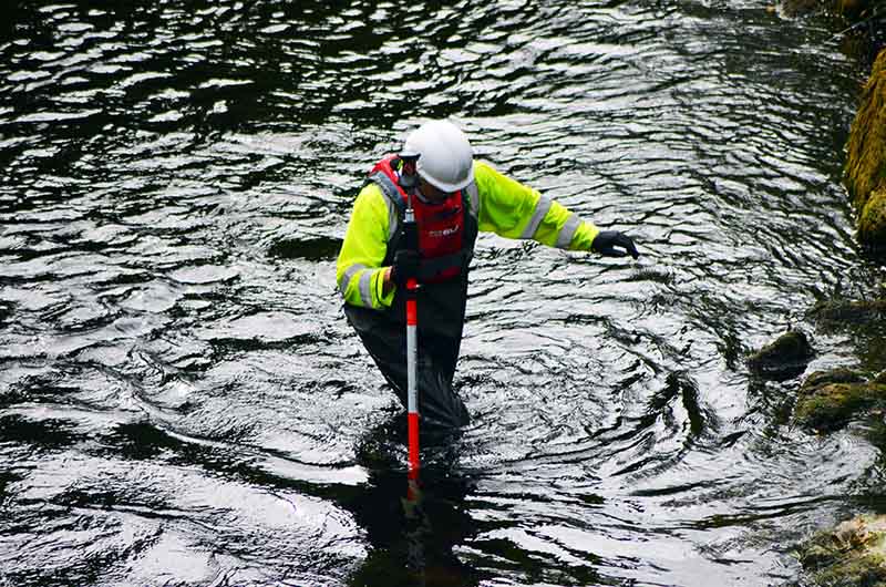
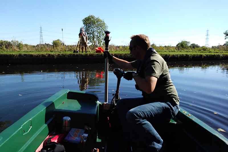
MK Surveys have many years experience in the production of hydrographic surveys to inform Flood Risk Assessments (FRA’s) of towns and villages suffering from repeated flooding and also the production of cross sectional surveys and monitoring of flood barrier systems and watercourses for the Environment Agency.
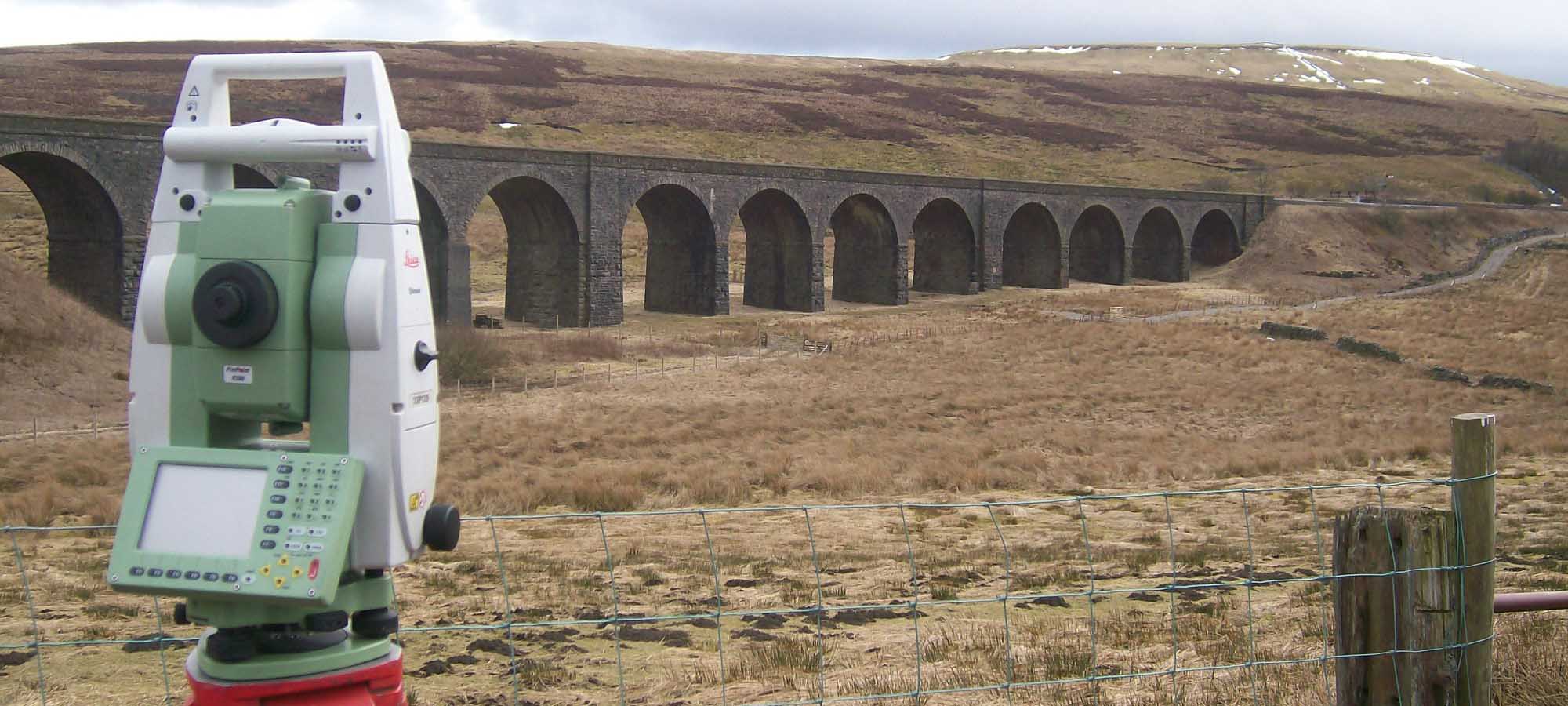
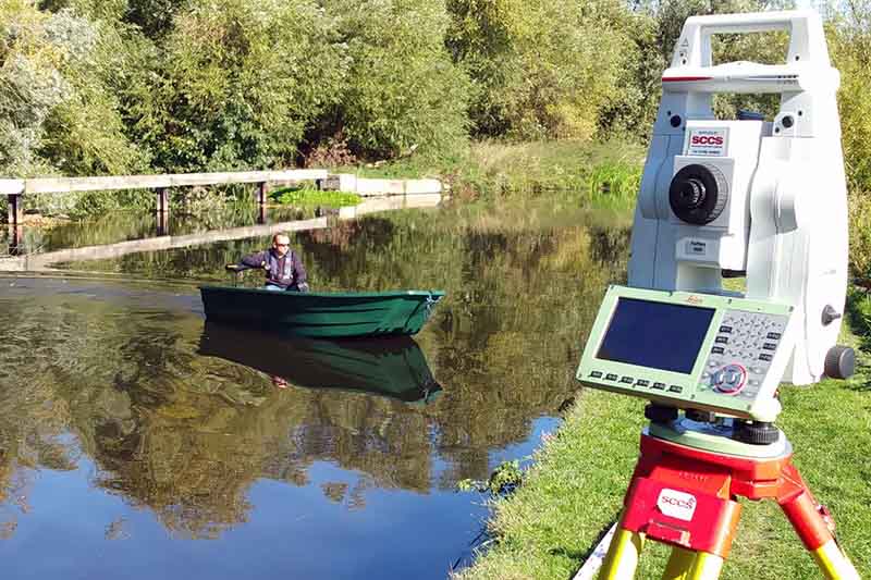
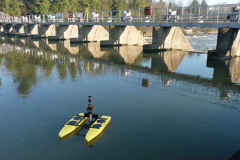
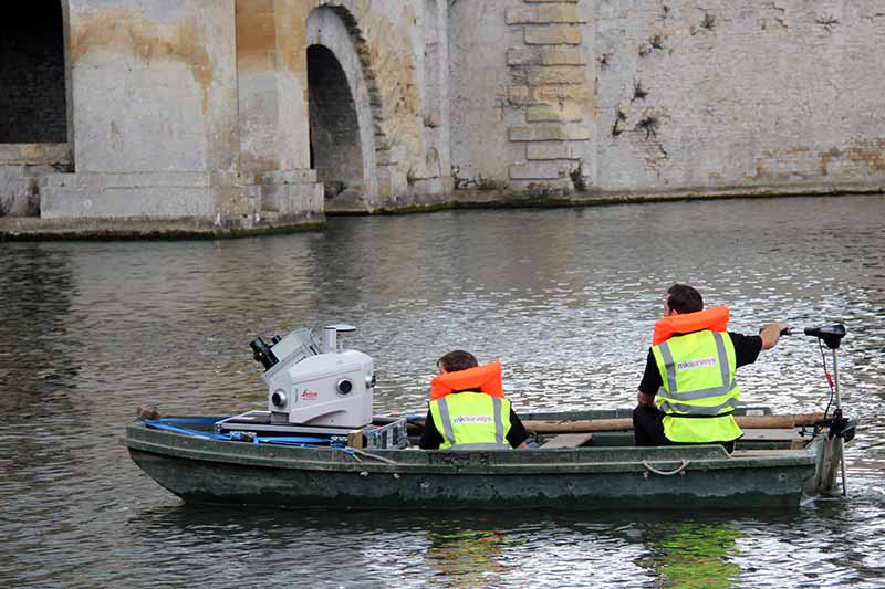
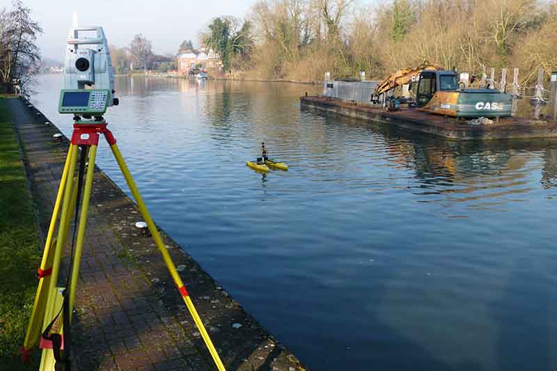
The hydrographic survey often forms part of a topographical survey to incorporate data from either remotely operated or boat mounted sonar systems. Pairing high accuracy survey equipment and sonar, we are able to extend ground modelling and DTM triangulation below the water surface to provide fully contoured bed and channel models.
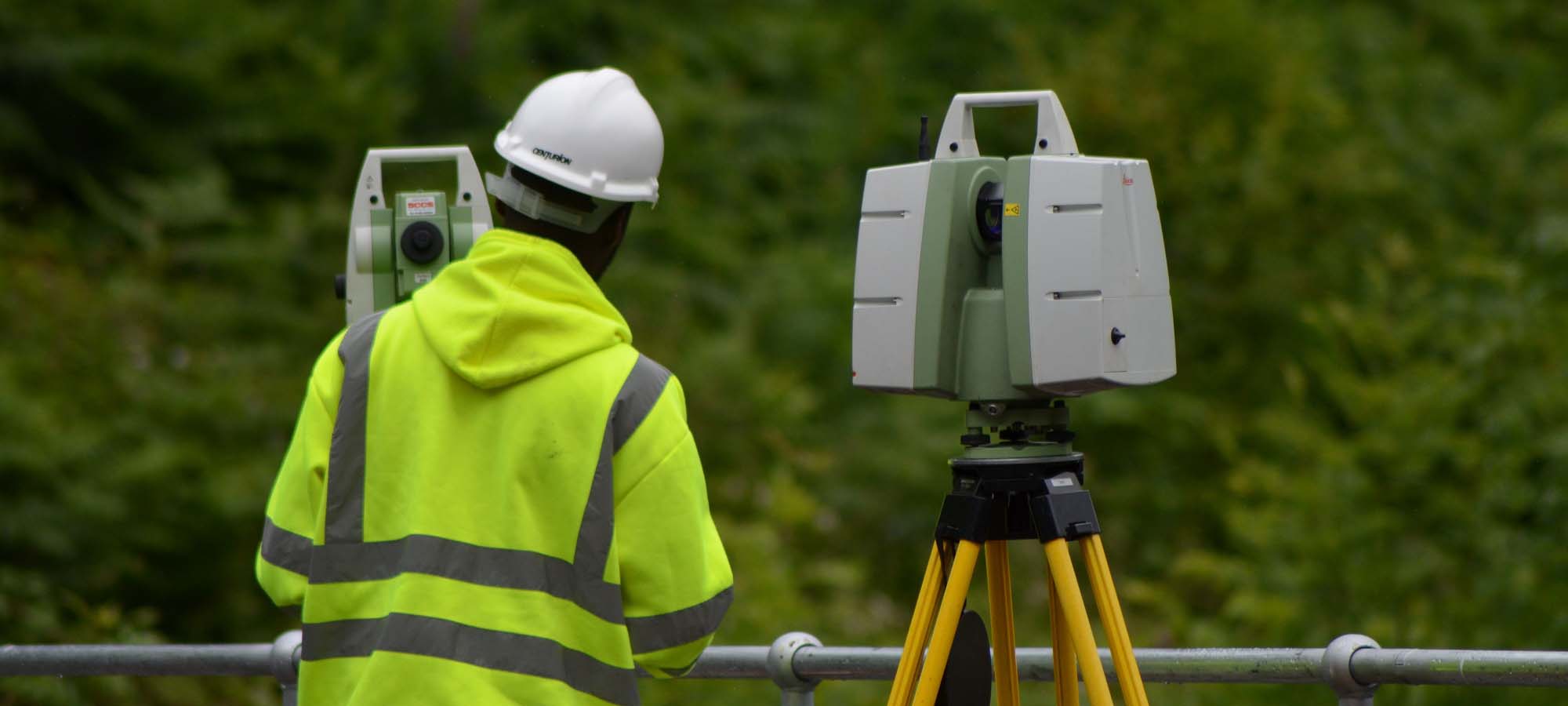
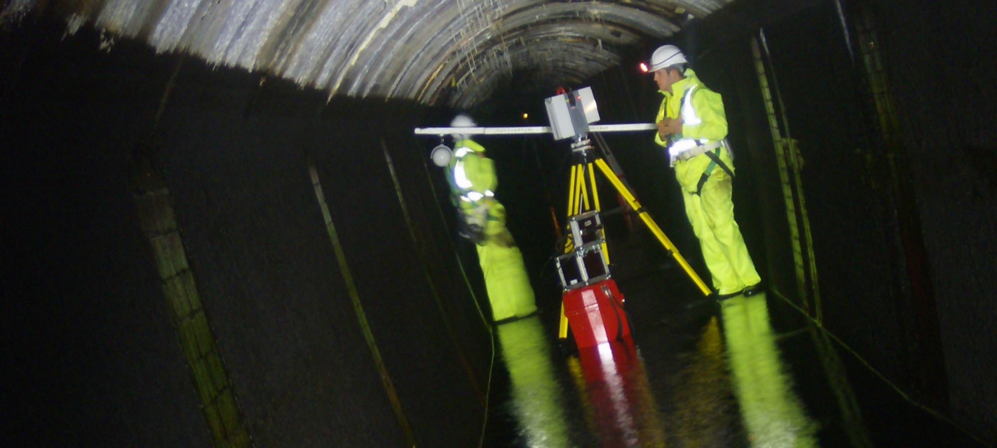
With staff trained for working in confined spaces, working at height and for the safe use of off-road vehicles and powerboats, we are able to mobilise experienced survey teams to tackle any project.
Our surveys can go further still; utilising a variety of sampling systems to take physical samples from the river or lake bed, bagging each sample for analysis, with every sample geolocated to enable the comparison of bed material along a watercourse or across body of water.
We are experienced in;
 Inland Waterway Surveys
Port & Harbour Surveys
Reservoir Surveys
River Cross Section Surveys
Bathymetry Mapping
Surveys For Engineering Inspections
Threshold Level Surveys
LiDAR Data Capture From Vessels

 mail@mksurveys.co.uk