A geographic information system is a system designed to capture, store, manipulate, analyse, manage, and present all types of geographically referenced data. In the simplest terms, GIS is the merging of cartography, statistical analysis, and database technology.
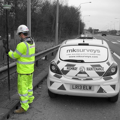
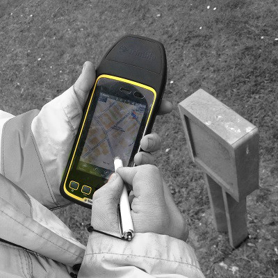
MK Surveys GIS Team are experts in cost effective data capture to include both positional and inventory data. The data is recorded using a variety of methods from high accuracy survey grade mobile mapping & GNSS, hand held field computers to tape and offset measurements recorded on to a simple sketch to be digitised post-survey.
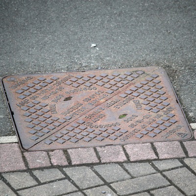
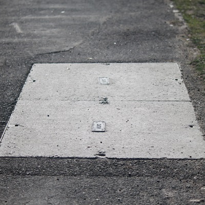
Services we can offer include: Database for asset management, industrial asset management, manhole/drainage asset surveys, lamp post inventories, bus stop surveys, HADDMS surveys, utility asset tagging and tree surveys.
We can provide data in a variety of formats to include: Shapefile, MapInfo, spread sheet, Microsoft Access database and Comma separated values (CSV).
We are users of the following GIS programs: AutoCAD Map, ArcMap, K-Matic, FastMap and WinCan.
Mobile Mapping for GIS Data Capture & Asset Mapping:

By utilising our mobile mapping solution, the Leica Pegasus:Two we are able to record masses of geospatially accurate 3D data quickly and safely from a moving vehicle. The LiDAR data recorded at a rate of 1 million points per second and imagery recorded from 7 integrated cameras at user defined intervals is all synchronised to provide an extremely valuable, unrivalled dataset that can be manipulated to extract an abundance of attribute rich features.





 mail@mksurveys.co.uk


 mail@mksurveys.co.uk